Plan
See harbors, legs and total distance directly in context.
Nautical chart
Waters ahead. Course in sight.
Planned route and sailed track, harbors and seamarks, distance and true course – on one chart that belongs to the rest of your cruise.
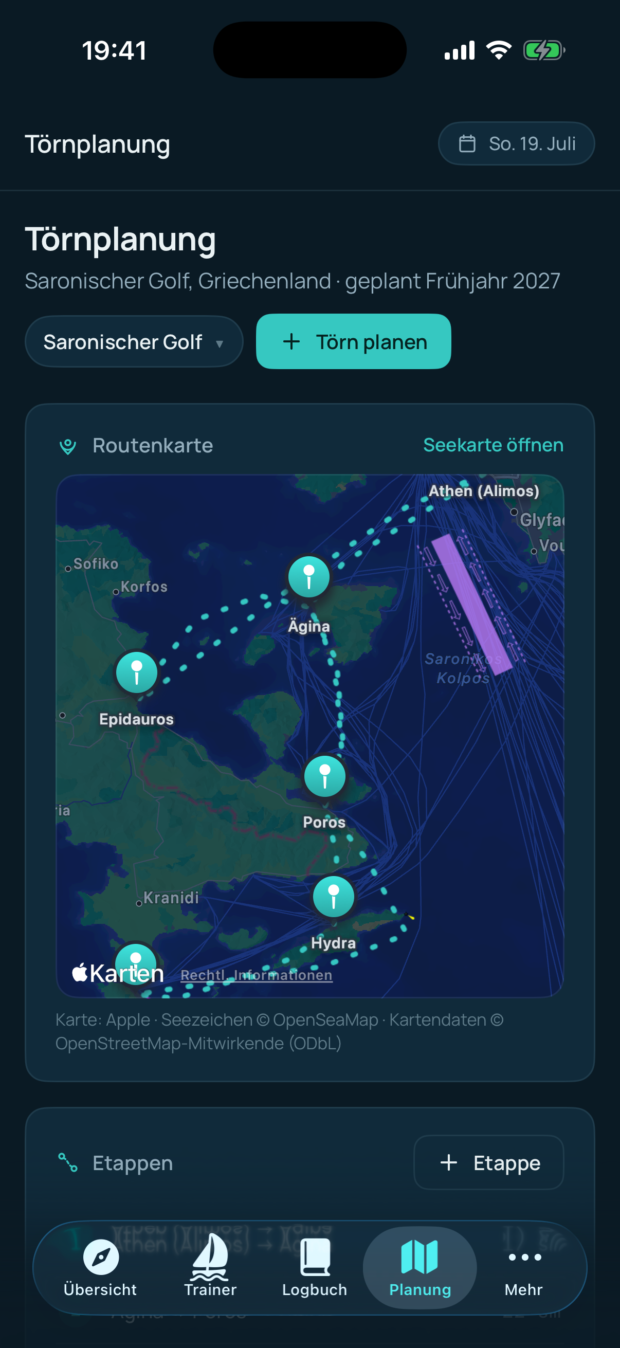
Everything on one chart
The worldwide Apple base map is enriched with seamarks from OpenSeaMap. Your planned route appears in turquoise, the GPS track you actually sailed in green – clearly separated and instantly readable.
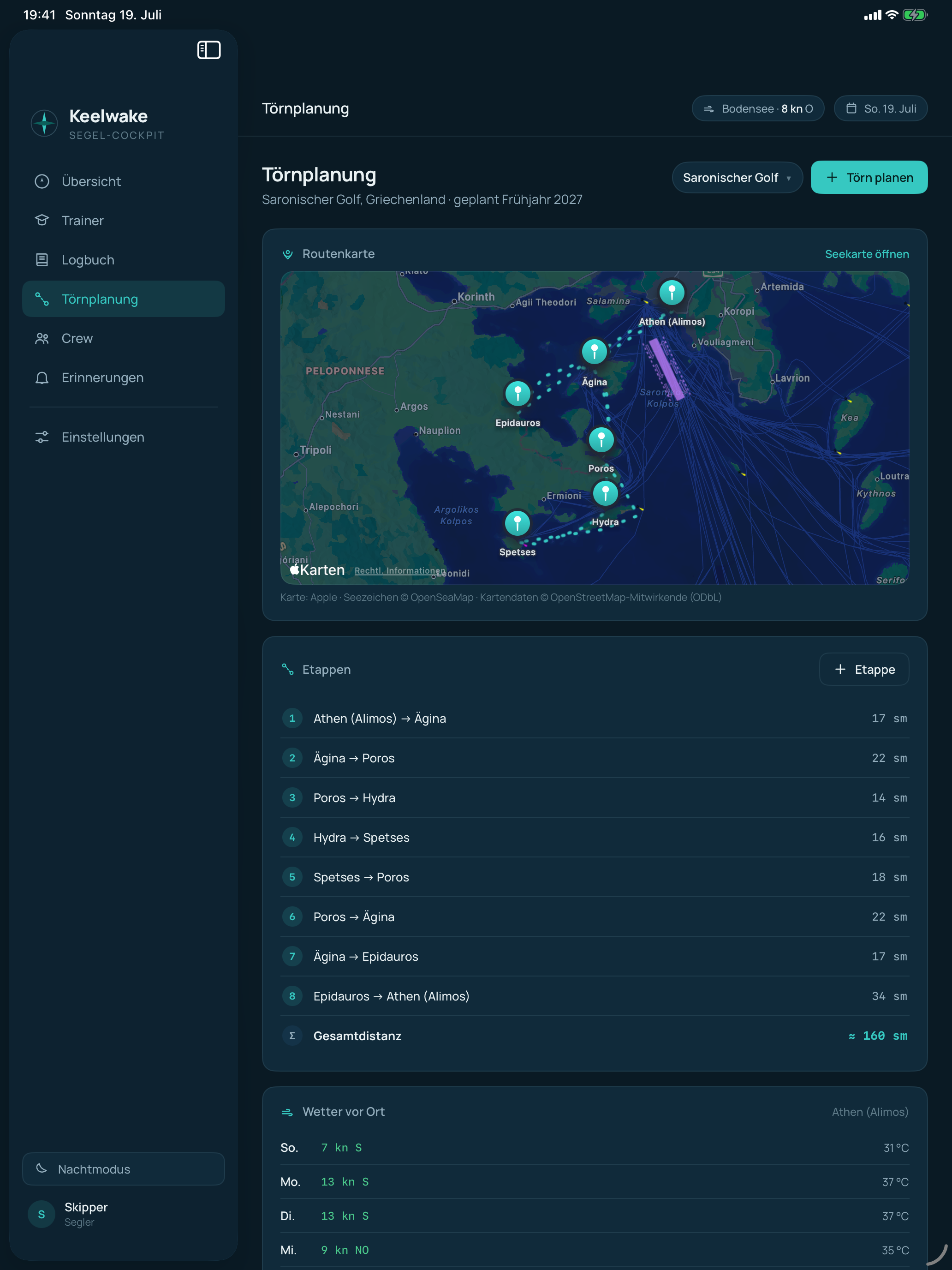
Chart tools
Drop multiple measurement points and Keelwake calculates the total distance as well as the course of the final segment. A line drawn between two harbors can be adopted directly as a new leg.
Prepared on board
Keelwake can preload the seamark tiles along a planned route and stores previously fetched tiles locally. The Apple base map itself is provided by MapKit and may still need a connection for new areas.
For the big picture
Keelwake supports planning and documentation. It is not a substitute for official nautical charts or nautical publications.
See harbors, legs and total distance directly in context.
The sailed track complements the planned route in the same chart view.
Position and seamarks for situational awareness – not a substitute for navigation.
Route, seamarks and wake – together with your logbook.